Spatial Prediction of Soils
The inherent spatial and temporal variability of soil means that its properties vary markedly with location and time. This spatial and temporal variability can happen as a result of agricultural management, land use, erosion, landforms, geomorphic elements and soil management practices.
Summary
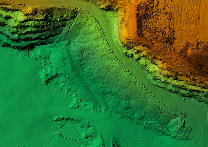
Estimating and predicting the spatial distribution of soil properties is a critical factor for sustainable land management. Soil property maps produced from conventional polygon-based soil survey maps are not sufficient for determining optimal management approaches because they do not show the spatial variability of soil properties at the level of detail required for many applications so they are generally not considered suitable for providing quantitative information on soil properties for management. There is a growing demand for detailed soil surveys for a variety of purposes, particularly agriculture, engineering and resource conservation around the world, but worldwide, detailed soil survey maps are only available in a few areas. Digital soil mapping (DSM) has improved the mapping of soil features by improving accuracy, economic efficiency and spatial resolution. The main strength of DSM is that the use of geographic information systems, environmental and climatic covariate data, helps reduce the cost of laboratory and fieldwork.
Objectives
I have implemented this project to answer three main questions:
To investigate the applicability and ability of machine learning models (e.g., Random Forest, Stochastic Gradient Boosting, Multinomial Logistic Regression, Cubit, Support Vector Machin, Artificial Neural Network, Partial Least Square Regression, etc.) and their ability to build a rational and logical relationship between the inputs and the target variables. article1; article2.
To investigate the possibility of using more advanced learning models such as convolutional neural networks, super learning and optimization heuristic approaches for improving the performances of common machine learning models for mapping three-dimensional soil properties and soil classes. article1; article2.
To investigate the applicability and ability of machine learning models for producing high resolution soil information in which we have a small or no training datasets (spatial extrapolation). article1; article2.
Ruhollah Taghizadeh
Postdoc Researcher
My research interests include soil mapping, data science, and machine learning