Precision Agriculture
Precision agriculture gives farmers the ability to more effectively use crop inputs including fertilizers, pesticides, tillage and irrigation water. More effective use of inputs means greater crop yield and(or) quality, without polluting the environment.
Summary
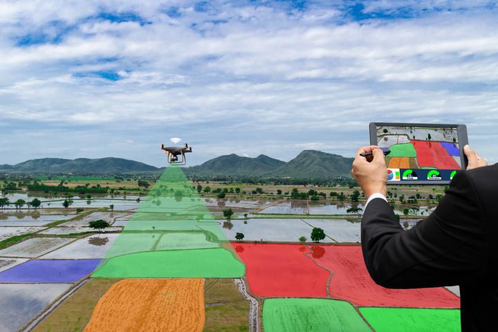
Agriculture plays an important role in sustaining all human activities. The rapid increase in the world’s population will further exacerbate food, water, and energy challenges. Digital agriculture—with precision farming, data analytics, machine learning, and artificial intelligence—has the potential to address the challenges of sustainable agricultural use. Machine learning—the scientific field that gives machines the ability to learn without being strictly programmed—has the potential to make agriculture more efficient and effective. The increasing amount of sophisticated data (e.g., remote sensing and proximal sensing) makes it possible to bridge the gap between data and decisions within agricultural planning. On-demand representative sampling and modeling of useful soil information in an unprecedented resolution leads to an improvement in the decision-making processes of, for example, liming, irrigation, fertilization, higher productivity, reduced waste in food, and biofuel production. Additionally, sustainable land management practices are only as good as the data they are made of, and they help to minimize negative consequences such as soil erosion, soil compaction, and organic carbon and biodiversity loss. In the last few years, different machine learning techniques, different geophysical sensor platforms, as well as newly available satellite data have been tested and applied in precision agriculture.
Objectives
I have implemented this project to answer three main questions:
Developing pedotransfer functions to estimate hard-to-measure soil properties from easier measured and often readily available soil properties. article1; article2.
Using a wide range of proximal sensors to estimate a high-density soil property. article1; article2.
Using machine learning models to assess the lands for suitable crops and defining homogeneous management zones in the field (spatial extrapolation). article1; article2.
Ruhollah Taghizadeh
Postdoc Researcher
My research interests include soil mapping, data science, and machine learning